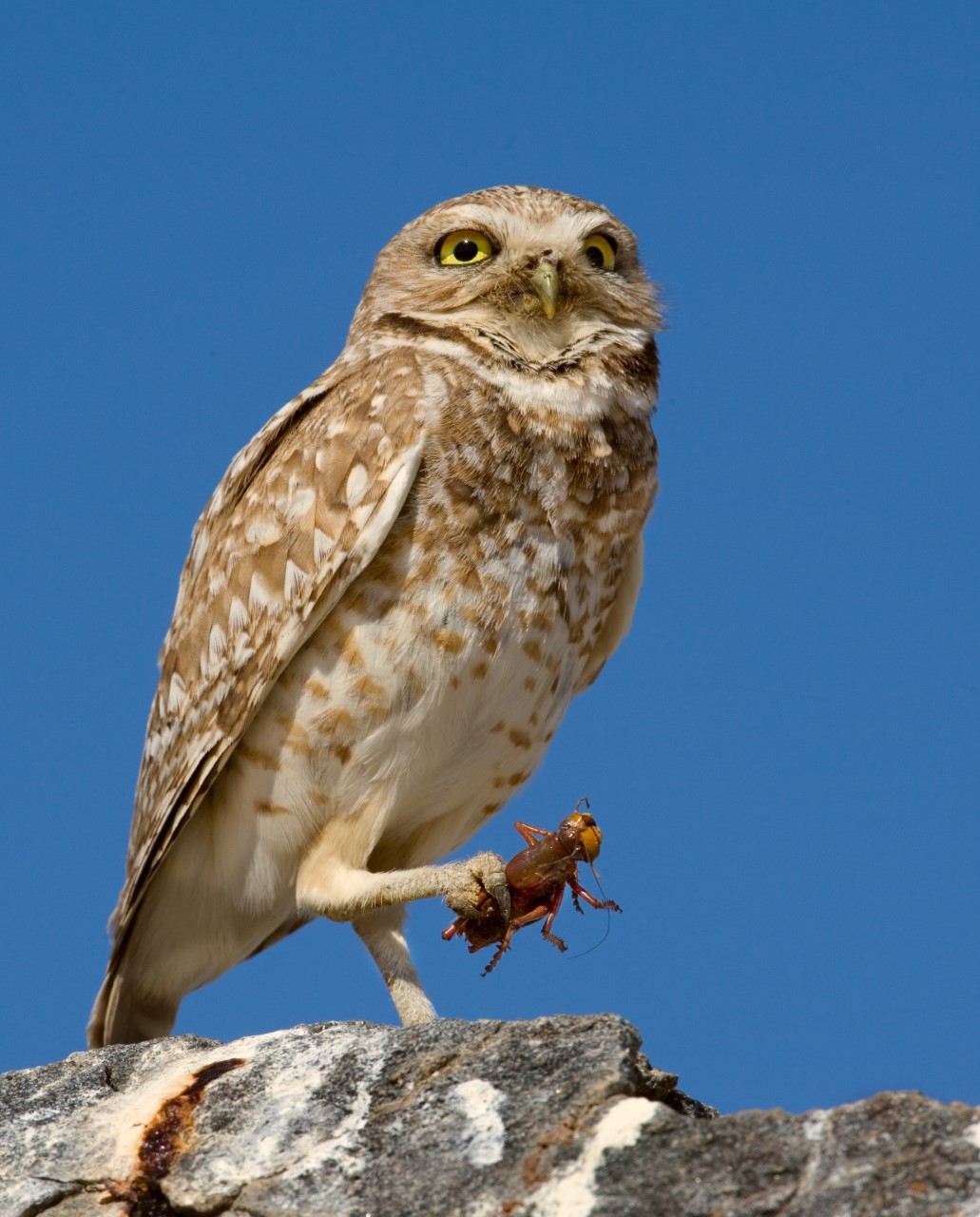
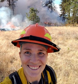
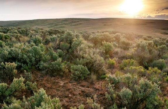
Nevada Department of Wildlife Uses LANDFIRE Tools to Update Habitat Management and Protection Priorities in State Wildlife Action Plan
By: Lee Davis, Habitat Biologist, Nevada Division of Wildlife
Megan Dettenmaier, TNC LANDFIRE Communications Lead
State Wildlife Action Plans, or SWAPs, are comprehensive, statewide plans for conserving wildlife and habitat resources. Updated every 3 to 10 years, depending on the state, SWAPs are designed to address the
eight required elements needed to participate in the State Wildlife Grants Program. When staff and partners from the Nevada Department of Wildlife (NDOW) set out to begin our required 10-year revision to the Nevada SWAP, we hoped to create decision support tools that would lead to landscape-scale, cross-jurisdictional collaborations. Because fish, wildlife, and habitat resources span state and jurisdictional boundaries, we sought continuous, reliable data to support our analysis. Ideally, we hoped to base our SWAP on data that spanned state lines, was widely backed by subject matter experts, could be utilized for a variety of purposes, and would be supported and updated into the future.
We decided to use LANDFIRE data as the foundation for NDOW’s SWAP habitat analysis. LANDFIRE products allowed NDOW staff to:
- Easily map the location of vegetative communities to support management planning
- Estimate the area and extent of habitat converted to urbanized, agricultural, non-native and other classes
- Estimate condition of vegetative communities
Having the ability to estimate how vegetation has changed over time and measure the implications of these changes paves the way for NDOW to support ongoing threat analyses and planning to assist with siting conservation projects.
An additional key outcome of this process was a Habitat Climate Change Vulnerability Analysis based on NatureServe’s HCCVI process that utilizes LANDFIRE data. NatureServe’s HCCVI analysis incorporates climate exposure and ecosystem resilience to estimate climate change vulnerability. This allowed seamless integration of our output that led to spatially explicit projections of climate change vulnerability that can be viewed at the
Biophysical Setting (ecosystem) level or aggregated up to broader habitat management levels. These products are critical as we consider the future of Nevada’s natural resources in a changing world.
TNC's LANDFIRE staff were incredibly supportive at multiple steps of this process. Discussions with staff not only helped guide our analysis, but also led to collaboration with NatureServe and other partners that helped NDOW modernize and update our habitat mapping products. The outputs of this process will lead to the prioritization of targeted conservation efforts based on spatially explicit products that can be combined with other NDOW products such as big game migration corridors or critical habitat for species of conservation concern.
We relied on the LANDFIRE 2016 Remap data and plan to update our analysis as LANDFIRE moves to
annual updates of Existing Vegetation Type, Height, Cover and other layers. Biophysical Settings products, reference condition, and succession class data were critical to our workflow for this SWAP revision. The availability of LANDFIRE’s nationwide products supports multiple natural resource management and scientific endeavors, and (perhaps most importantly) these data and products provide a common language and basis for making meaningful natural resource decisions.
We estimate the Nevada SWAP revision will be complete in early 2023. Check
their website for the full report.
Habitat Biologist, Lee Davis presented on this process at a LANDFIRE Office Hour in 2022, check out the recording below to learn more about the process.
Quick Resources
On the LANDFIRE
YouTube channel, view the playlists for Webinars and
Applications/Case Studies. We have hosted many webinars that illustrate LF uses and ways to adapt data for local applications.
 The
WHAM! (Web-Hosted Applications Map): 130+ applications in a Google Map format, e.g., zoom, pan, click, and learn.
Open the WHAM! with Firefox or Chrome. It does not work in IE.
The
WHAM! (Web-Hosted Applications Map): 130+ applications in a Google Map format, e.g., zoom, pan, click, and learn.
Open the WHAM! with Firefox or Chrome. It does not work in IE.
LANDFIRE Postcards often feature interviews with "super users" who have relied on LF tools and data for major projects. Click "Interview" for the pdf document. Click '"Postcard" for the interview and additional LF news and features.
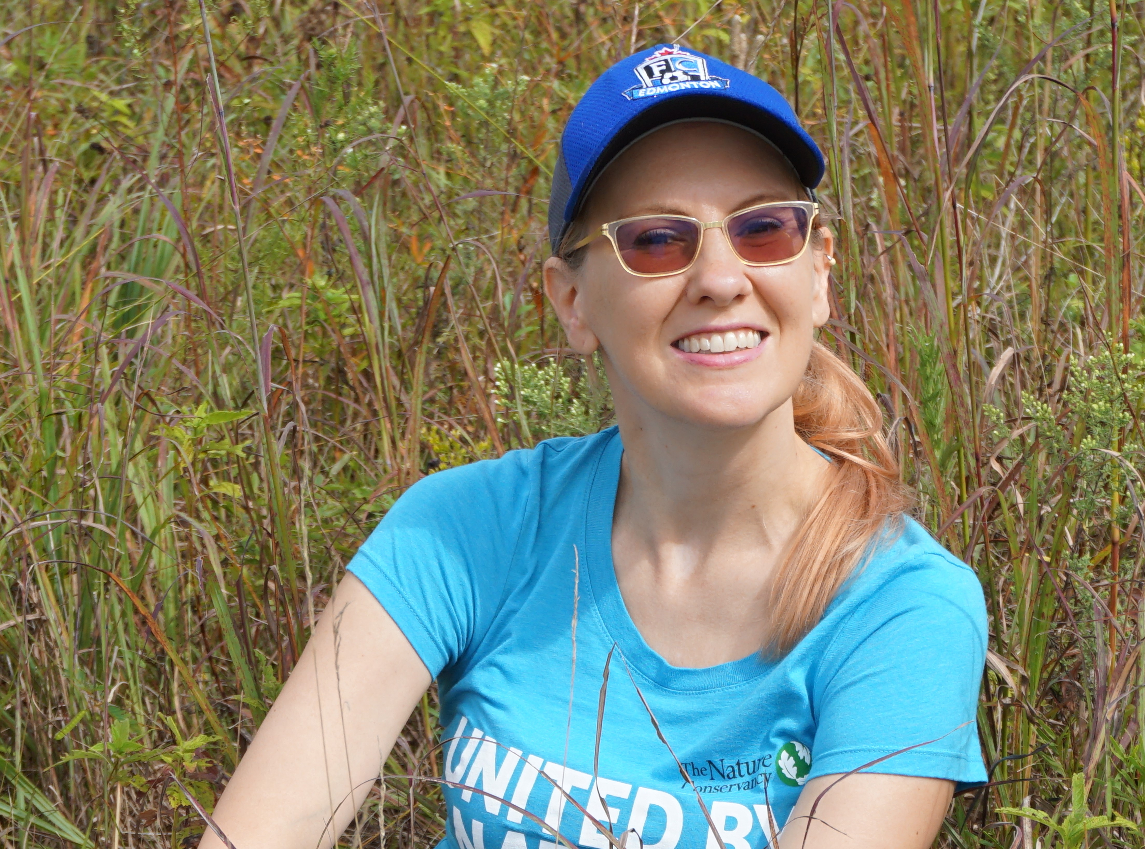 Using GIS to Support Conservation and Land Management
If you’ve clicked on LANDFIRE’s interactive Web-Hosted Application Map (aka the
WHAM!), you’ve touched base with GIS Analyst Sarah Hagen, its creator and manager. Sarah joined The Nature Conservancy (TNC) in 2006 while a graduate student at the University of Wisconsin. Since then, she has worked for two state chapters and several multi-state regional programs, and for the last decade has split her time between TNC’s LANDFIRE program and the Conservancy’s Illinois Field Office science team. She is a spatial ecologist at the latter; at LANDFIRE, Sarah provides the GIS foundation for the TNC team’s work. LF asked Sarah to expound on three W’s and an H: the What, How, Why, and Where of GIS.
Interview. September 2019 postcard.
LANDFIRE, NatureServe, and EVT Maps
Pat Comer,
NatureServes's Chief Ecologist, coordinates ecology activity from the Boulder, Colorado office. For 30+ years, he has focused on ecosystem classification, spatial modeling, ecological assessment, and systematic planning support for conserving biodiversity and sustainable development. Pat led the development of what became NatureServe’s terrestrial ecological systems classification, which formed the basis for regional mapping of natural land cover mapping, first with the USGS Gap Analysis Program, and second, as the Biophysical Settings (BpS) and natural Existing Vegetation Type (EVT) classes for LANDFIRE.
Interview. August 2019 postcard.
Meeting Army Training Requirements Using LANDFIRE
Tim Christiansen has devoted a 44-year career to pursuing interests in ecosystem ecology, fire ecology, ecological monitoring, and invertebrate ecology. A certified wildland firefighter, he has participated in 183 prescribed fires or wildfires, and has applied those skills and learned new ones while working at the University of Georgia’s Savannah River Ecology Lab, Yellowstone National Park, and Eglin Air Base in Florida. At White Sands Missile Range (WSMR) in New Mexico, Tim joined the Army’s Integrated Training and Area Management (ITAM) program, and is responsible for helping the Army meet its training requirements through management of habitat sustainability outside of "live fire" ranges. He's been using LF products since Day One in the early aughts.
Interview. July 2019 Postcard.

Value and Power of Collaboration
Colin Daniel, president of Apex Resource Management Solutions, has been an ecological consultant for more than 25 years. His work has focused on the development of tools and techniques to project landscape change, including projections of both vegetation and land use/land cover. Major clients include the U.S. Geological Survey, U.S. Forest Service, The Nature Conservancy, and LANDFIRE. Since founding ApexRMS in 2007 Colin has overseen the development of the company’s free ST-Sim software platform for developing spatially-explicit state-and-transition simulation models (STSMs) of landscape change, a LANDFIRE foundation. Colin says that the development and success of ST-Sim demonstrates the value and power of collaborations between government agencies, NGOs, and the private sector, and that "without that coordination, the ST-Sim and SyncroSim products would simply not exist today."
Interview.
June 2019 Postcard.
Planning Tools Link to National Policy Scenarios
Alan Ager's reputation as a research forester and planning analyst is well known. He joined the US Forest Service in 1987 as a planning analyst,
and has spent the bulk of his career on landscape management issues related to fuels management and wildfire as part of Forest Service restoration and vegetation management programs. His recent focus has been on developing planning tools to simulate and explore national policy scenarios and predict investment outcomes in terms of economic and ecological conditions on national forests. Alan turned to LANDFIRE in 1994, when he learned how to use FlamMap to build realistic fire simulations for a study area in northeast Oregon. When combined with FlamMap, LANDFIRE's wall-to-wall fuels layers enabled Alan to simulate the ways fuel treatments changed burn probability and fire intensity.
Read the interview.
May 2019 postcard.
 Using Data Products for Ecological and Forest Management Inventory and Monitoring
Joel Carlson, Principal Consultant and Owner of the Massachusetts-based
Northeast Forest and Fire Management, was an early adopter of LANDFIRE tools and data. For more than 25-years, he has worked in habitat management, forestry, and fire management in positions as Chief of Forest Fire Control/Deputy Bureau Chief of Forestry, Fire Manager and Woodlands & Natural Areas Manager. An instructor at the National Advanced Fire and Resource Institute (NAFRI) in Tucson since 2004, Joel has participated in the Advanced Fire Effects (RX510) training where he presents on “Implementing Fire Regimes in Wildland Remnants Systems.” He is a Community Representative on the
North Atlantic Fire Science Exchange. Learn why Joel says that LANDFIRE is vital to "support my work to address conservation, natural resource, and fire management goals in both planning and implementation."
Read the interview. February 2019 postcard.
Inventing LANDFIRE 
Every great success has an "origin story." What about LANDFIRE? Where did the idea come from? How was the program designed? Who made it happen? Bob Keane was one of three principal investigators in the LANDFIRE Prototype Project that was conducted from 2000 to 2005, when the procedures, protocols, and scientific underpinnings of the LANDFIRE program were developed. Since 1994, Bob has been a Research Ecologist with the USDA Forest Service, Rocky Mountain Research Station at the Missoula Fire Sciences Laboratory. He received his B.S. degree in forest engineering from the University of Maine, Orono; his M.S. degree in forest ecology from the University of Montana, Missoula; and his Ph.D. degree in forest ecology from the University of Idaho, Moscow. Learn how a 10-day wilderness pack trip figured into the genius behind LANDFIRE's design and implementation. Interview April 2019 postcard.
 Teaching the Next Generation of LF Practitioners.
"I love to learn almost as much as I love teaching," says Heather Heward, Senior Fire Instructor at the University of Idaho. "I am passionate about fire education and enjoy seeing the fire in my students as they learn about how they can make a difference in the broader world of fire ecology and management."
She teaches most of the on-campus fire classes at the University of Idaho where LF data is used: the "Prescribed Burning Lab," "Fire and Fuel Modeling," and "GIS Applications in Fire Ecology and Management" courses. Heather's degrees from the University of Idaho are in Natural Resources Ecology and Conservation Biology with a minor in Fire Ecology and Management (B.S. 2006), and in Forestry, with an emphasis on remote observations of fires (M.S. 2009). Her fire career began in 2002. She worked eight seasons as a wildland firefighter in a variety of capacities, her favorite as a member of wildland fire modules in California and New Mexico. How is LANDFIRE used in college classrooms?
Read the interview. November 2018
postcard.
Providing Consistent Burned Area Data.
After receiving a B.S. degree in animal ecology from Iowa State University, Todd Hawbaker spent the next couple of years burning and restoring tallgrass prairie in southwestern Minnesota. From there, he went on to receive both his M.S. and Ph.D. degrees in forestry from the University of Wisconsin before joining the U.S. Geological Survey as a research ecologist.
Todd works at the Geosciences and Environmental Change Science Center in Denver, CO. His current research for
LandCarbon, incorporates LANDFIRE to understand the drivers behind ecosystem disturbances and quantify the impacts of disturbances on human and natural systems. He also leads the development of the
Landsat Burned Area Algorithm and Products, used by LANDFIRE, to identify burned areas in both forest and non-forest ecosystems.
Read the interview pdf.
October 2018 postcard.
 Landscape-Scale Fire Regime Analysis.
US Forest Service Fire Ecologist Christine Droske is working on a landscape-scale fire regime analysis that will provide the framework for management decisions on the
Salmon-Challis National Forest. A key to revising the Forest’s Land Management Plan, the analysis will guide management direction for 4.2 million acres in north central Idaho, including 2 million acres within the
River of No Return Wilderness. Christine has focused on leading project design and implementation on fuels treatment, prescribed fire, and forest restoration activities on the Salmon-Challis. She’s particularly excited about the project because it will enable managers to use wildfire as a tool for restoration and learn more about adapting to fire-dependent systems.Read the interview
pdf.
July 2018 postcard.
 Addressing Wildfire Risk Across the Nation.
Greg Dillon, Forest Service spatial fire analyst with the
Rocky Mountain Research Station’s Fire Modeling Institute (FMI), works on various projects that use geospatial technology to address land management and fire management questions. Two projects involve assessing wildfire risk across National Forest System lands in the United States. and producing and maintaining the
Wildfire Hazard Potential map that depicts potential wildfire hazards across the U.S. Greg’s research centers around geospatial analysis, vegetation ecology, and fire ecology. In his current position with FMI, he applies recent advances in fire science and geospatial technology to address management questions from the national level down to local districts. In this interview, Greg talks about being with LF since the first day, changes, improvements and best moments.
Read the interview pdf.
May 2018 postcard
 BLM Science and Research Needs from Rangeland to Climate Change.
Louisa Evers, Ph.D., has 30 years’ experience in fire and fuels management and fire ecology ranging from basic firefighter to fuels specialist and fire ecologist. She has worked across the western U.S. in both prescribed fire and wildfire response. In January 2012, Louisa became the science and climate change coordinator for the Bureau of Land Management (BLM) Oregon-Washington State Office. Louisa’s current focus centers on issues affecting greater sage-grouse habitat and sagebrush ecosystems, supporting the development of land use plans and their associated environmental impact statements, and providing a liaison with the research community in Oregon and Washington to support BLM’s science and research needs.
Read the interview. April 2018 postcard.
 Vegetation Ecology Meets LF Data.
Vegetation ecologist Marion Reid is the
NatureServe project manager overseeing a multi-year year effort to support the LF team in new mapping of the U.S. of ecological systems and National Vegetation Classification (NVC) Groups, and is contributing to the development of a Guidebook to the NVC for BLM. An "LF Lifer," she's collaborated with LF since the early 2000's on the first iterations of the auto-keys, and was involved in the first iterations of BpS model development in the west. She's "been there, done that," so why is the LF Reference Database is her favorite product?
Read the interview pdf.
March 2018 postcard.
Big Data, Big Applications.
Dave Cleland, landscape ecologist with the USDA Forest Service, Forest and Range Management and Vegetation Ecology, Washington Office says that "LANDFIRE has the most consistent and I think best data available nationally on fire regimes, biophysical settings, and vegetative departures and dynamics." A LF "pioneer," Dave has held positions as a Forest Soil Scientist, Forest Ecologist, Research Liaison, Regional Ecologist, Research Ecologist, and Assistant National Vegetation Ecologist over the course of his career. Interview.
February 2018 postcard.
 Supporting Users, Creating BpS Models
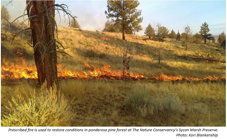
Fire Ecologist Kori Blankenship joined LF in 2004 as a GIS specialist at the Missoula Fire Sciences Lab, then moved to The Nature Conservancy's LF team in 2005. In her decade-plus at TNC, she has facilitated the creation of hundreds of vegetation models for ecosystems across the US. Her specialty is applying LF products to addressing land management challenges on large landscapes through data customization, user support, and outreach efforts. Interview pdf. January 2018 postcard.
Connecting Users and Mappers in Northeastern U.S.
Megan Sebasky, Northeast Region's (USFS Region 9) LF Coordinator, joined the Wisconsin DNR in March 2017 as Northeast's LF Coordinator - a new position supported by a State and Private Forestry grant to the Great Lakes Forest Fire Compact. Read the Interview.
Postcard November 2017.
 Landscape-scale Analysis Essential to Success of Watershed Projects: Rio Grande Water Fund
Steve Bassett, Spatial Analyst and GIS Program Manager for The Nature Conservancy in Santa Fe, NM, works conservation projects ranging from optimizing investment in water source protection to measuring changes in aquatic habitats following the construction of dams.
Postcard.
Interview October 2017.
 LANDFIRE & GAP: Partnership Addresses Challenges of Land Cover Mapping
Alexa McKerrow, ecologist and remote sensing analyst, joined the USGS National Gap Analysis Program in the 1990s. She leads a team of geographic information specialists on a variety of projects for the Core Science Analytics and Synthesis Program. On the Remap strategy team, Alexa works on updates to the methods and workflow for producing a new Existing Vegetation Type.
Postcard.
Interview August 2017.
 Evaluating the US Forest Service Hazardous Fuels Treatment Program
USFS Fire Ecologist Nicole Vaillant's interests include characterizing fire behavior at multiple scales, burn severity patterns, fuel treatment effectiveness, and wildfire risk analysis. She is involved with tech transfer and training for fuel management tools, e.g. ArcFuels and the Interagency Fuel Treatment Decision Support System (IFTDSS).
Postcard.
Interview May 2017
Future Forest Dynamics Across the US
Among Landscape Ecologist Jen Costanza's research interests are the ecological effects of global change, land change modeling and landscape conservation. She is working to produce future projections of forest conditions for the Forest Service’s Resources Planning Act Assessment.
Postcard.
Interview January 2017
 Quantifying Rangeland Fuels, Production, and Carbon
Research Ecologist Matt Reeves is with the USFS Human Dimensions Program, specializing in using remote sensing and GIS to evaluate issues facing U.S. rangelands. LF data are integral to the Rangeland Vegetation Simulator (RVS), a cutting-edge program for quantifying rangeland fuels, production, carbon and degradation. Interview July 2016.
 Maps, Models, Metrics
Greg Low, founder/partner of Applied Conservation LLC provides consulting and facilitation services to public agencies, nonprofit conservation organizations, private landowners, and others. He specializes in forecasting, implementation, environmental dashboards, and organizational development in large landscapes, 50k-1m acres.
Interview. November 2016 postcard.
 Remap: Creating a New LF Base Map
Josh Picotte is a fire specialist with ASRC Federal-InuTeq, Science Support Services Contract (SSSC) to the U.S. Geological Survey at the EROS Center in Sioux Falls, SD. As a member of the LF Remap Strategy Team, Josh is working to create a new base map data suite that represents contemporary conditions.
Interview. March 2016
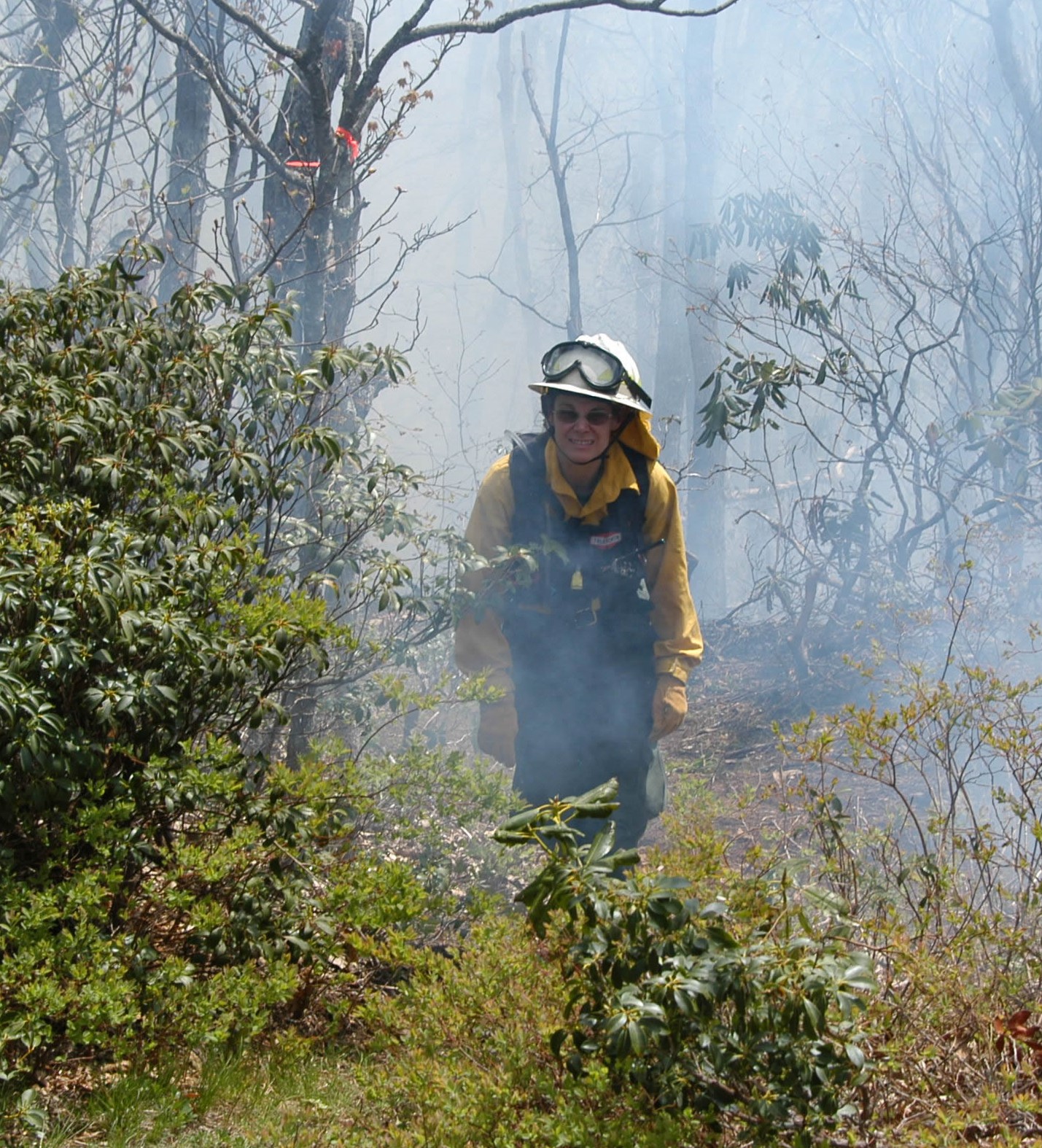 Restoring Fire in the Southeast
Fire Manager Margit Bucher of The Nature Conservancy, is a founder and current board member of the North Carolina Prescribed Fire Council, and co-lead for the Southern Blue Ridge Fire Learning Network. She oversees the fire management program on 50,000 acres of TNC lands in North Carolina. Disturbance ecology, understanding how ecosystems function, and the application of that knowledge to inform wildland management are her specialties. Margit is a burn boss and fire manager.
Interview June 2016.
Featured Applications
BpS Models Help to Put Current Fire Trends in Perspective
An article in
Ecosphere,The Missing Fire: Quantifying human exclusion of wildfire in Pacific Northwest forests, USA, demonstrates how LANDFIRE reference condition models can provide context for answering current land management questions. In this article, Ryan Haugo and his co-authors tackle the question: has wildfire extent and severity changed over time in Pacific Northwest forests?
LANDFIRE Biophysical Settings (BpS) models provided the foundation for quantifying historical fire regimes in this study. The BpS models were modified to capture variation in fire frequency and severity and to make the outputs comparable to the contemporary wildfire data. Contemporary fire regimes were quantified using Modeling Trends in Burn Severity data.
The results of the analysis indicate that
fires today are less extensive than they were historically, and current fire severities do not align with historical fire regimes particularly in drier forests throughout the region where there is a deficit of low-severity fire. The authors conclude that careful attention should be paid to fire severities when fire is used as a restoration tool in northwest forests.
Recently, Utah State University's Forestry Extension asked LANDFIRE to explain how the Program's comprehensive vegetation, fire, and fuel characteristics data have impacted the way scientists and managers approach land management.
By facilitating inter-agency/inter-organizational collaboration and cooperation, and providing data for landscape assessment, analysis, and management on a large scale, LANDFIRE helps Federal and State agencies and other public and private organizations work together to address fire and other natural resource management issues.
Given the extent of public lands in the West, LANDFIRE's impact has been significant. Data are used because they include the best available science and expert review; they are publicly available at no cost, making the methods easy to replicate for other states; and they are regularly "refreshed" so that assessments and plans can be adjusted with every new data release.
In this feature article, we showcase western watersheds and fire management, ecology and conservation of sage-grouse at landscape scales, statewide assessment of riparian vegetation conditions, fire suppression costs with and without fuel treatments, effects of climate change on cattle production, and adapting data to support local planning efforts.Read the full story.
Keeping fuel data current over time is a continual challenge for wildland fire managers. Natural events like wildfires and hurricanes, and human activities such as forest thinning, prescribed fire, and development constantly change the landscape and quickly render fuel data out of date.
Biannually, LF provides a data safety net by producing updated all-lands fuels products for the U.S.; however, those data are two to three years old when they
are delivered. Further, while they provide a good starting point, the products are designed for national and regional level application -- local review and calibration is recommended to ensure that the data are suitable for smaller landscapes.
In 2015, the South Central Idaho Fire Planning Unit (FPU) needed current data after four major fires burned 178,000 acres in 2013. However, the 2013 events would not be reflected before the circa 2014 version was completed and made available in 2017. How did the area fire staff, working with a team of LF and USFS colleagues, bring the 2012 fuel data current to 2015 for the FPU? And, what process did they use to calibrate fire behavior fuel models to better fit local conditions? Read the article by Kori Blankenship, Tony Beauchaine and Don Helmbrecht in
Wildfire Magazine.
CONNECTIONS
RETURN TO LANDFIRE HOME PAGE