Nevada iGDE Wetlands Hexagons map (JPG, PDF)
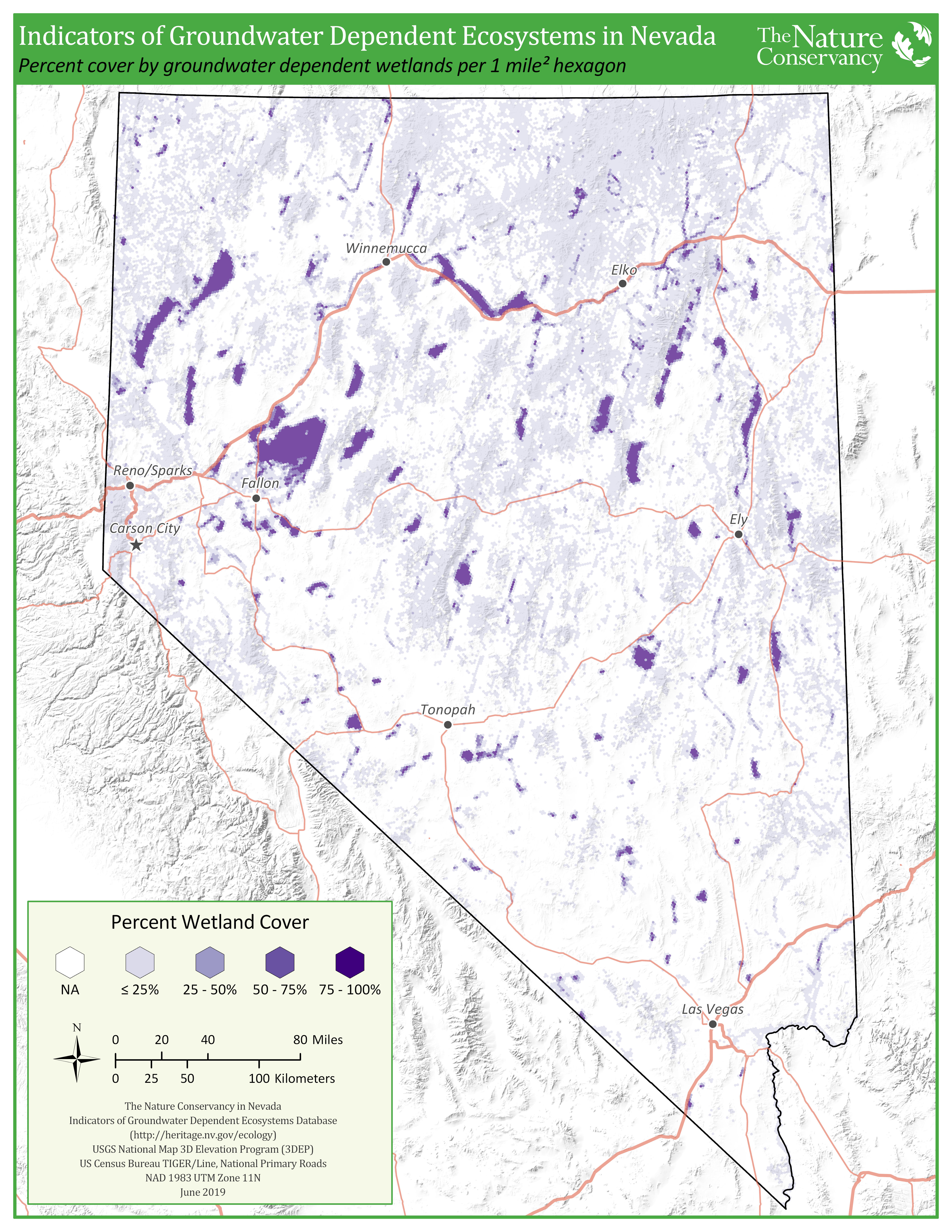
This map shows the amount of groundwater dependent wetlands in each 1 mile-squared hexagon across Nevada. These data are from the Nevada indicators of groundwater dependent ecosystems database.
Preview

Subject Tags
- Groundwater
- Wetlands
Description
This map summarizes data from the Nevada Indicators of Groundwater Dependent Ecosystems (iGDE) database that was completed in 2019. Each 1 mile-squared hexagon in the map indicates the percent cover of groundwater-dependent wetlands it contains, with darker hexagons indicating higher percentages of GDE wetlands. See the Nevada iGDE story map for more information.
Click on view resource to get a .pdf and below to get a .jpg version of the map.