Nevada iGDE Lakes and Playas Hexagons map (JPG, PDF)
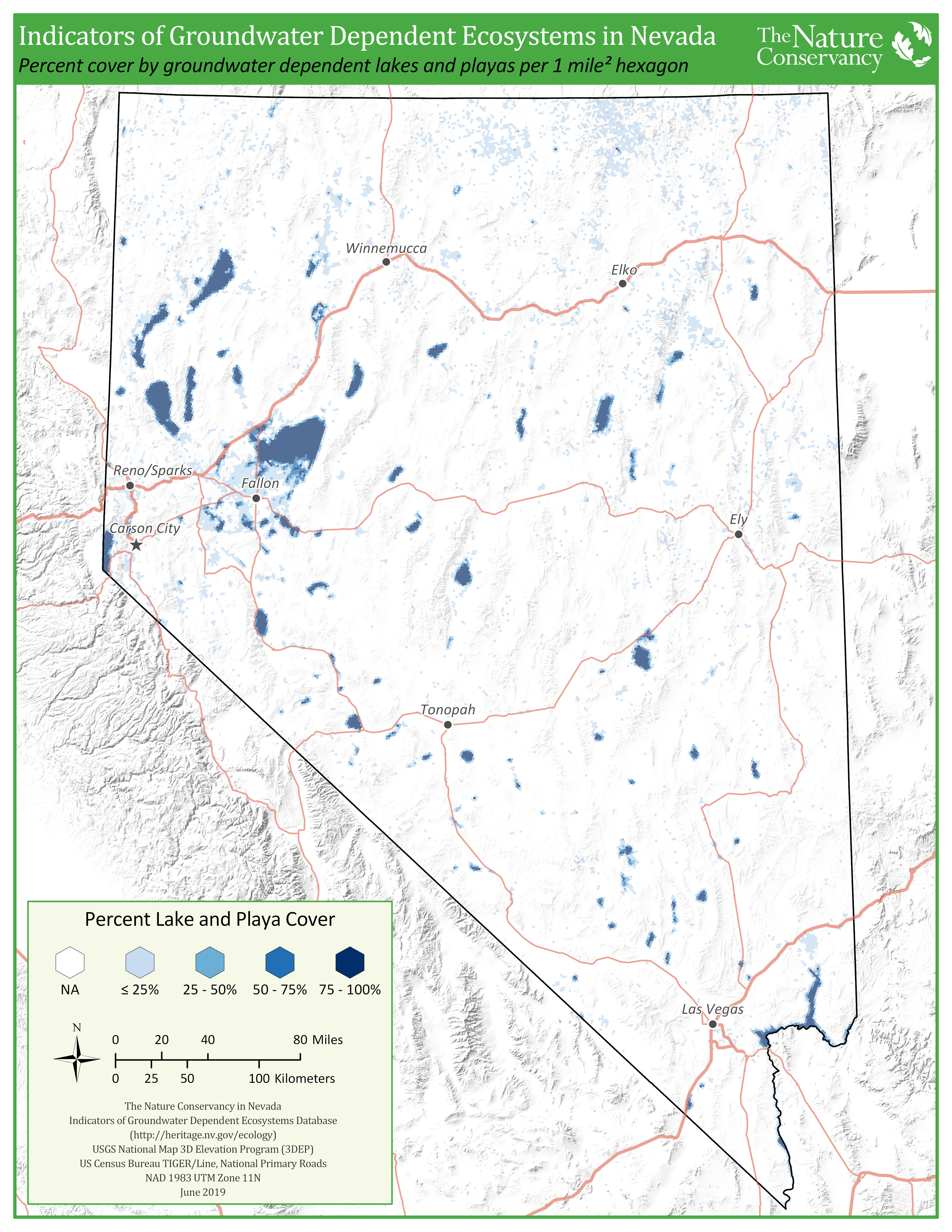
This map shows the amount of groundwater dependent lakes and playas in each 1 mile-squared hexagon across Nevada. These data are from the Nevada indicators of groundwater dependent ecosystems database.
Preview

Subject Tags
- Groundwater
- Lakes
Description
This map summarizes data from the Nevada Indicators of Groundwater Dependent Ecosystems (iGDE) database that was completed in 2019. Each 1 mile-squared hexagon in the map indicates percent cover of groundwater-dependent lakes and playas it contains, with darker hexagons indicating greater percent cover of GDE lakes and playas. See the Nevada iGDE story map for more information.
Click on view resource to get a .pdf and below to get a .jpg version of the map.