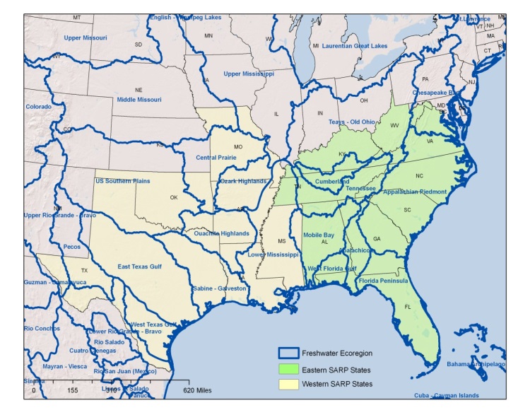
Freshwater ecosystems in the southeast are incredibly diverse, home to many rare species. Until now, basic stream classification attributes were not mapped consistently for the entire Southeast Aquatic Resources Partnership (SARP) region.
Using comprehensive data, a team of 12 aquatic biologists from state agencies, federal agencies and Universities, The Nature Conservancy has developed the first comprehensive stream database with some basic stream classification attributes for the entire Southeast Aquatic Resources Partnership (SARP) region. The project was also able to provide more detailed attributes in the eastern section of the SARP geography (9 states: AL, FL, GA, KY, NC, SC, TN, WV, VA) where additional data and modeling capacity was available.
The final product is a mapped dataset of information linked to the NHDPlus medium resolution hydrography that can be used to classify stream reaches. The results of this work contribute to SARP’s overall objective to develop a river classification framework database consisting of a hierarchical set of hydrologic, morphologic, and biotic parameters for NHDPlus river segments. This can be used to identify ecologically similar types of rivers within the region according to the needs of the user.
